LandFlow is a full suite of modules for Idaho real estate — from the map and ownership networks to plats, loans, title, and outreach. Here's everything inside.
The foundation of LandFlow — the map, the search, and the ownership graph behind every property in Idaho.
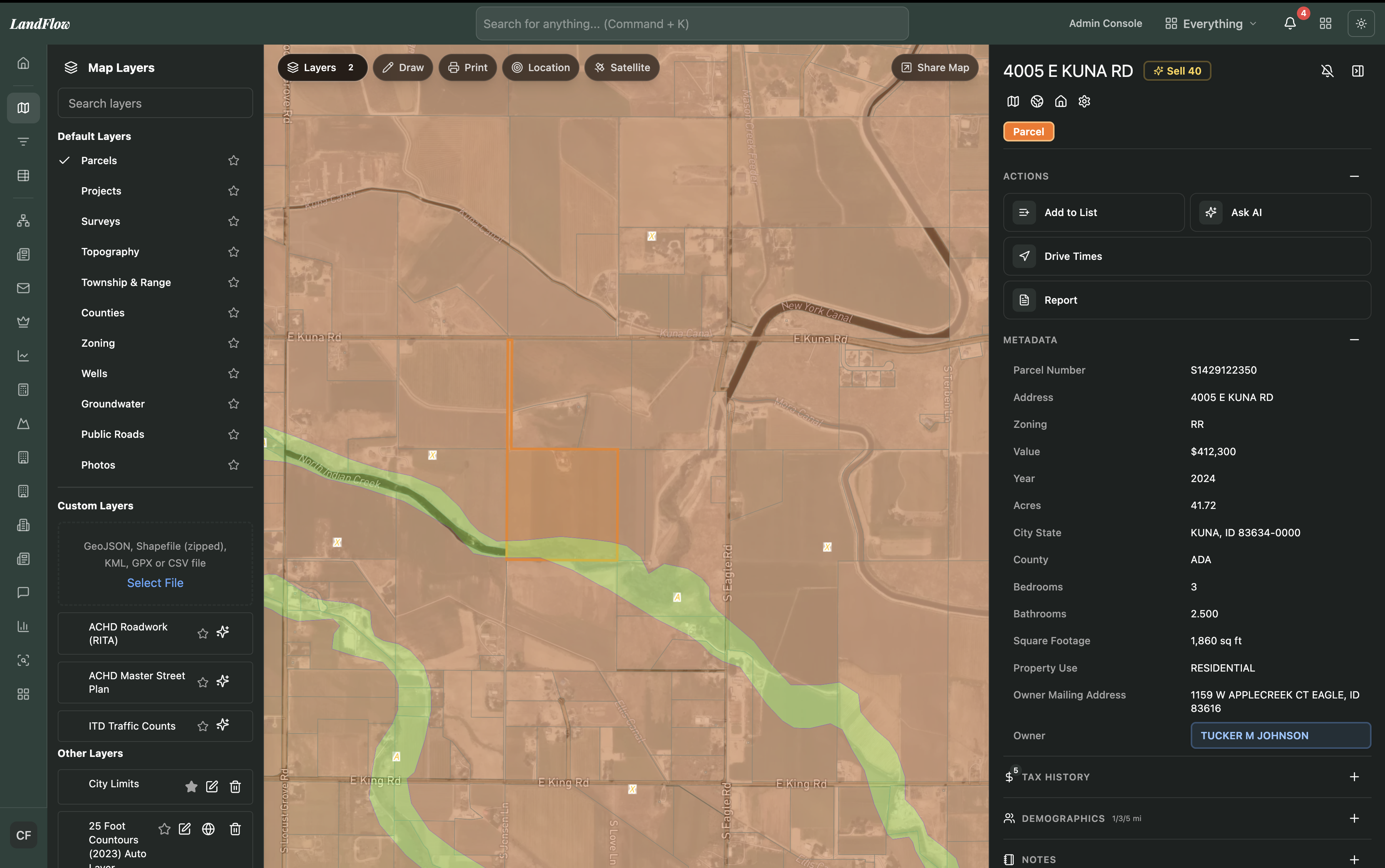
Every Idaho parcel on one interactive map — with satellite view, drawing, measurement, printing, location search, custom base maps, and shareable views.

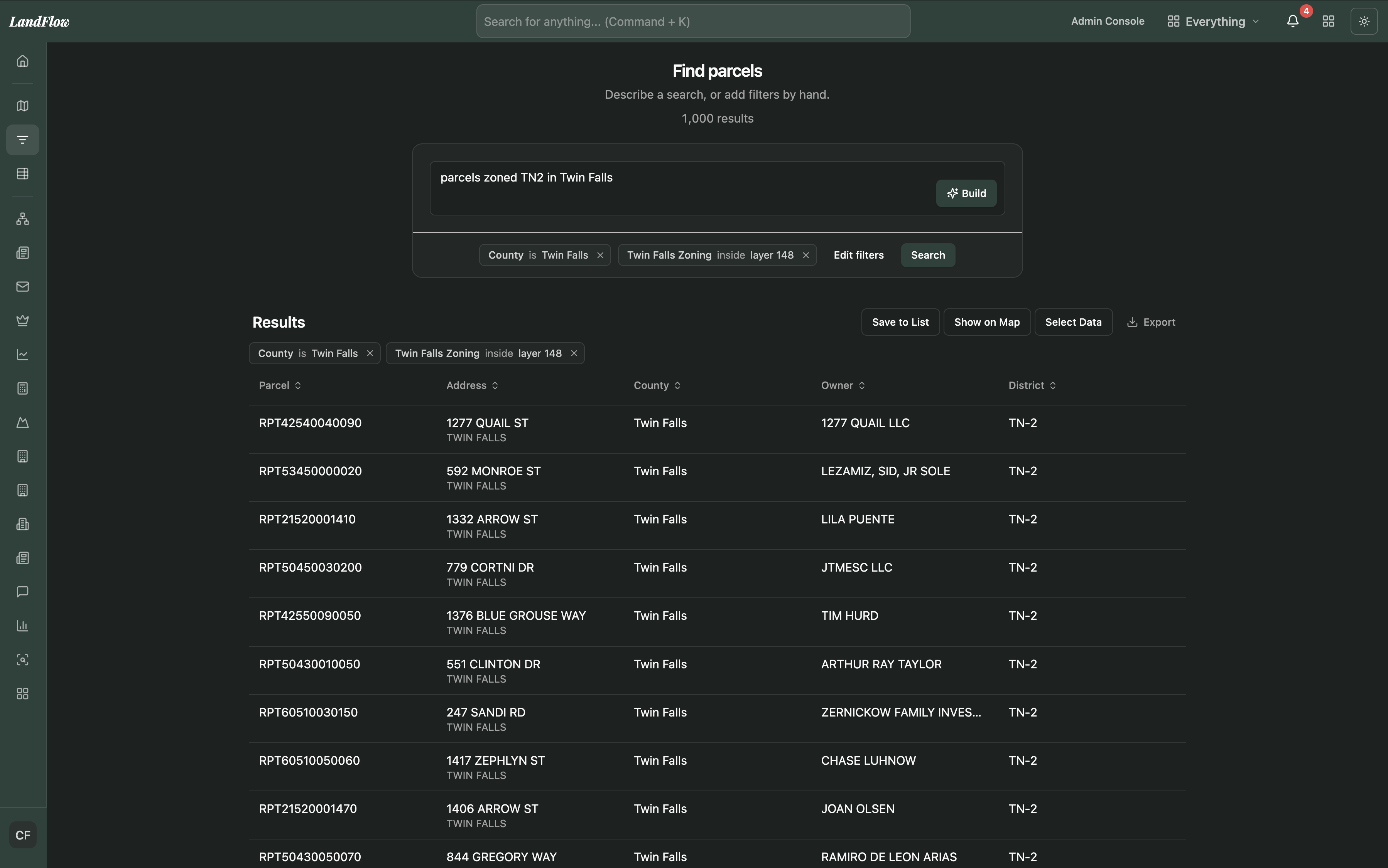
Filter the whole market by hundreds of criteria — building & lot, assessor value, finance & mortgages, construction, exterior, and amenities — combined with AND/OR filter groups. Save and export any result set.

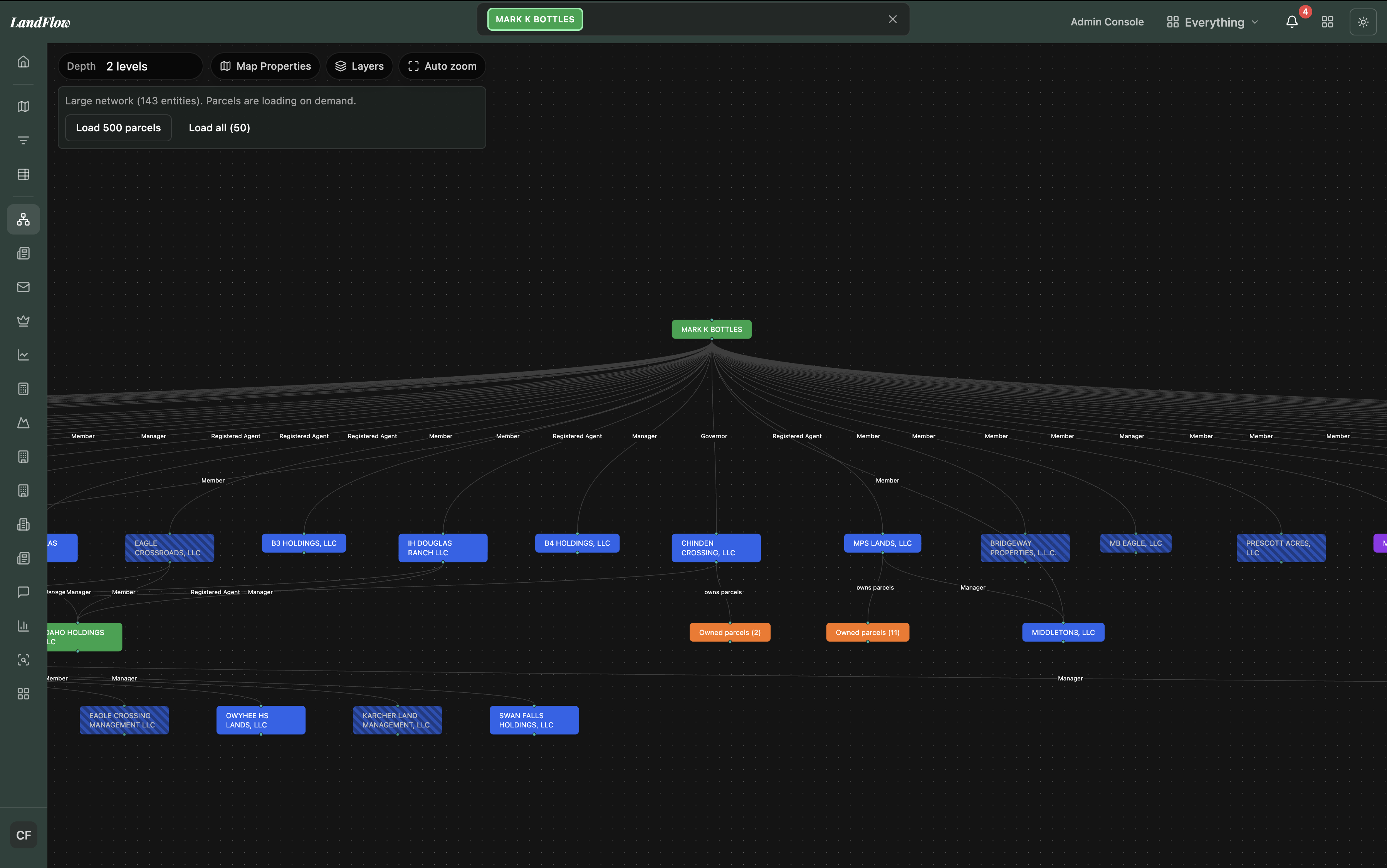
Ownership networks that connect parcels to the people, LLCs, and trusts behind them — and map the related entities and partners across a portfolio.

Deep-dive any parcel or entity in one panel — metadata, tax history, transactions, recorder documents, entity relations, active-application alerts, and notes.

Rank the top property owners in any area by acres, parcel count, tax value, or estimated value — and jump straight into their portfolio.

See exactly what LandFlow covers, county by county, across all 44 Idaho counties — parcels, assessor data, documents, and layers.
Tax, demographics, documents, and instant reports — the context you need to make a call.

Assessed-value trend and tax by year for every parcel, visualized right in the property panel.

Population, income, and growth around any parcel at 1-, 3-, and 5-mile radii.

Drive-time isochrones from any parcel to understand access and catchment.

Every property an owner holds — mapped and listed — surfaced straight from the ownership graph.

Deeds, mortgages, plats, and liens sourced from the county recorder — linked directly to each parcel and entity.

Search public and legal notices across the state, tied back to the properties and parties involved.

Generate polished reports in a click — Due Diligence, Listing Package, Commercial Listing Package, and Person Report.

Ask a question and get fast, sourced answers on Idaho statutes and code — plus AI assistance on the active parcel.
Build lists, reach owners, and keep your team in sync — all inside the platform.

Build and manage property lists with custom columns, column visibility controls, one-click add-to-list, bulk export, and team sharing.

Owner phone numbers, emails, and mailing addresses surfaced on any parcel — skip-traced through individuals, LLCs, and trusts, and ready to call, email, or mail in one click.

Farm leads and run automated direct-mail campaigns — letters and postcards, typed or handwritten by robot — with owner contact info and live status tracking built in.

Upload, organize, and attach documents to parcels — then share files, lists, notes, and message threads with your team or clients.

Subscribe to entities and features to get notified the moment a new application, filing, or change in activity hits a property you're watching.
The tools developers and civil engineers use to evaluate, lay out, and track projects.
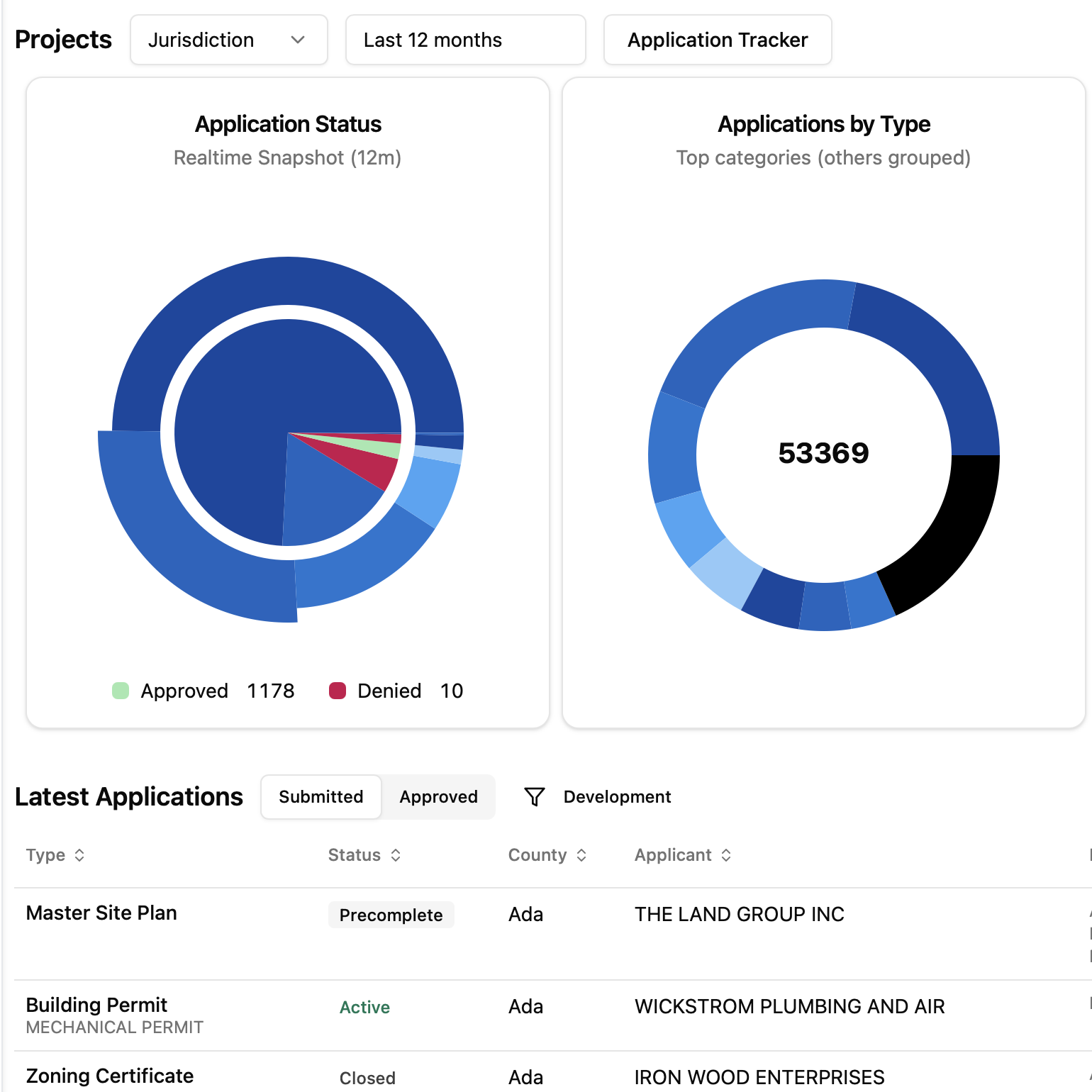
Track development applications across the market by status, type, and county — and over time, from submittal to final approval.

Create and manage your own development projects — single- or multi-parcel — with tasks, files, and progress in one place.

Import a parcel and lay out roads and lots to maximize yield — then produce a preliminary plat and export to AutoCAD DXF.

Cross-sections and 3D block models of subsurface and topography, built from well lithology and driller's-report data.

Run the numbers without leaving LandFlow — a full set of financial calculators for deals and land.
Turn recorded documents into lending insight and competitive intelligence.

Mortgage rates and lending analytics — track loans sourced from recorded documents, filter by lien position (1st / 2nd) and status (active / matured), and spot loans coming to term.

Title-company market share and closings over time by county — see who's winning the market and where the whitespace is.
Everything above runs on one shared core — customizable, shareable, and yours to brand.

Run the entire platform under your own name, domain, and colors — for your team and the partners you serve.

Curated views per role, pin your favorite tools to the sidebar, and browse everything from a command-palette "All tools" search.

Capture geolocated photos in the field and attach them to parcels — bringing ground truth back into the platform.

Export lists and owner contacts, push plats to AutoCAD DXF & Arch D drawings, and connect custom data integrations for enterprise teams.
Start with the map and network for $60/mo, and add the modules your business runs on.