Everything you need to take
a parcel to a plat
Eight tools that replace a stack of feasibility, GIS, and CAD point solutions.
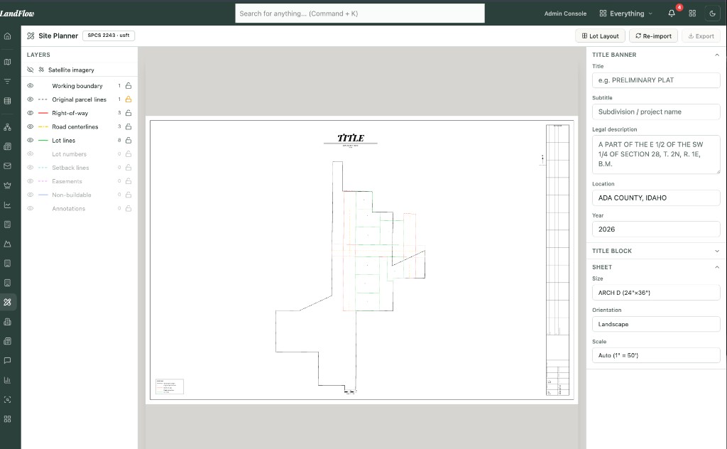
Preliminary Plats → AutoCAD DXF & Arch D
Produce a full preliminary plat inside LandFlow and export it as an AutoCAD DXF or a print-ready Arch D drawing — hand it straight to your civil team without redrawing a thing.
- AutoCAD DXF export
- Print-ready Arch D drawing sheets
- Clean handoff to your civil engineers
Automatic Layout to Maximize Yield
Let the layout algorithm test lot configurations against your parcel and its zoning, then surface the plan with the highest density — yield optimized in seconds, not weeks of trial and error.
- Automated lot layout generation
- Density & yield maximization
- Constraint- and zoning-aware
Instant Self-Serve Due Diligence
Pull a complete due diligence report on any parcel on demand — ownership, zoning, utilities, and development constraints — with no analyst and no waiting. Decide fast, before you tie up capital.
About due diligence reports →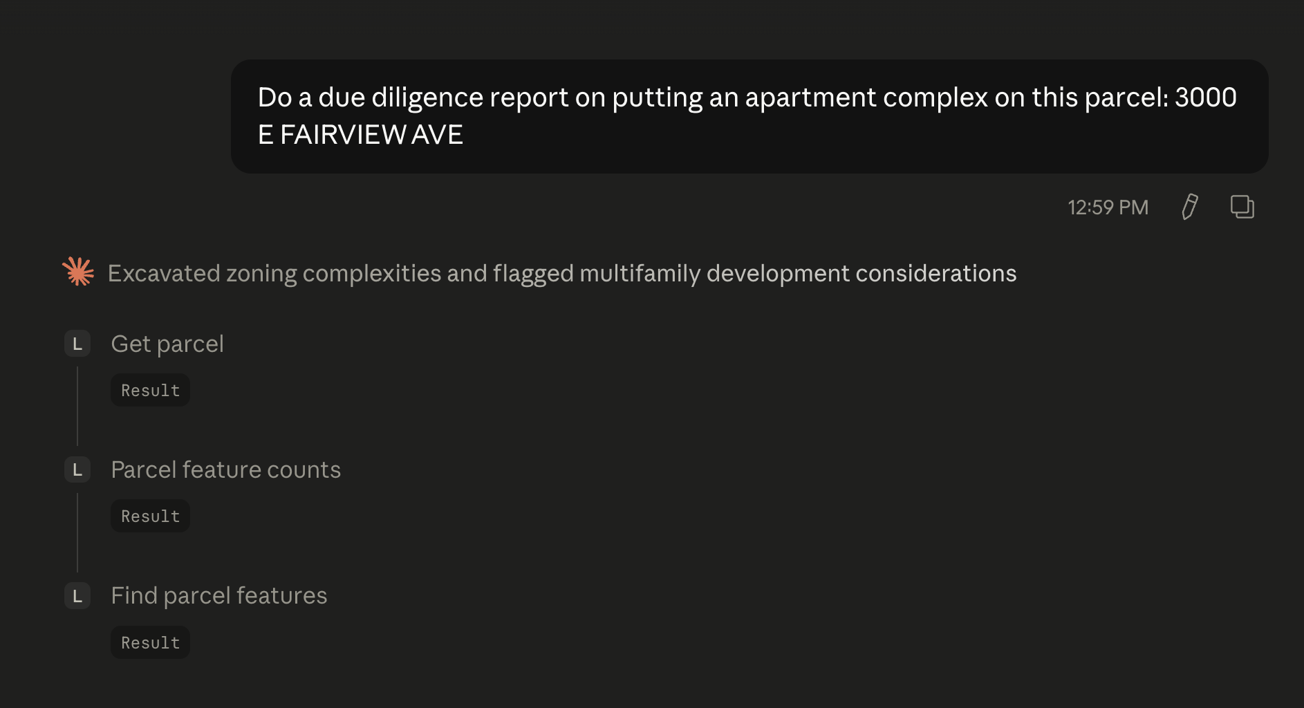
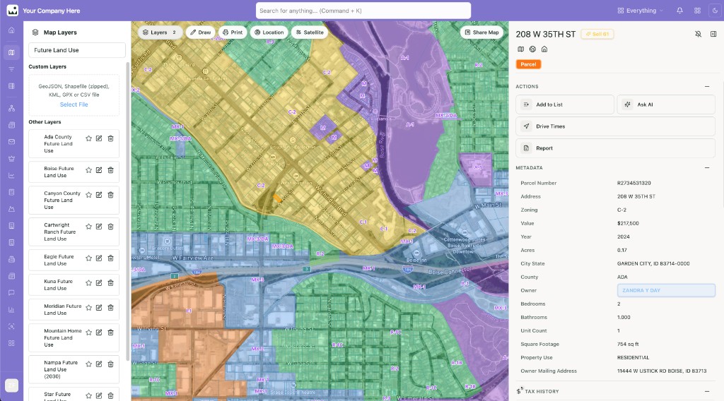
Future Land Use, Zoning, Sewer & Water
Overlay future land use to find parcels ripe for annexation, plus zoning and sewer & water service maps where available — spot the next opportunity before anyone else does.
- Future land use — target parcels for annexation
- Zoning overlays
- Sewer & water service areas (where available)
Site Plan Import & GPS Testhole Locating
Import your site plan and use GPS-based alignment to walk to planned testhole locations in the field to within ±50 ft — get the drill rig to the right spot the first time.
- Import existing site plans
- GPS alignment & positioning
- Locate testholes to ±50 ft in the field
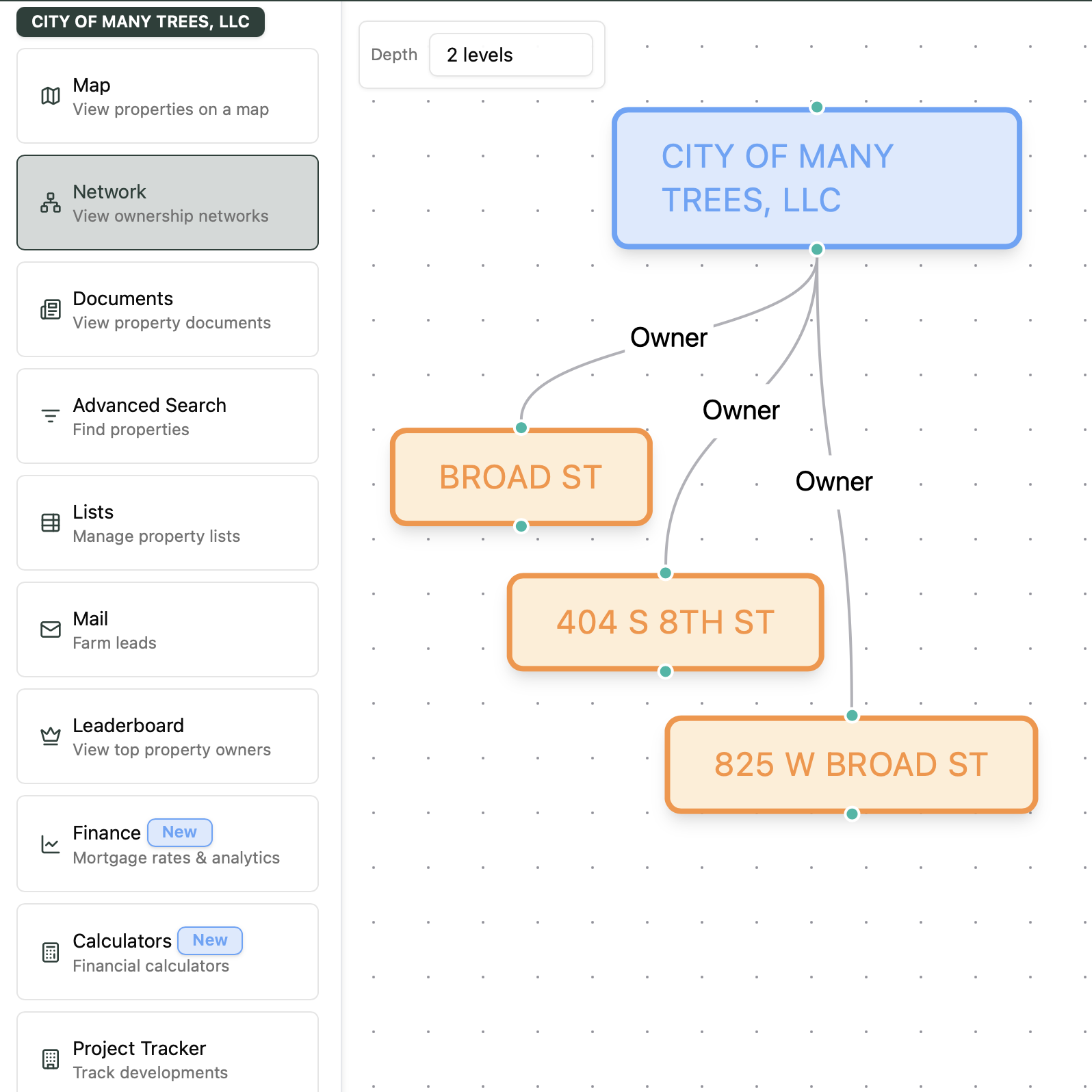
Site Discovery & Ownership Networks
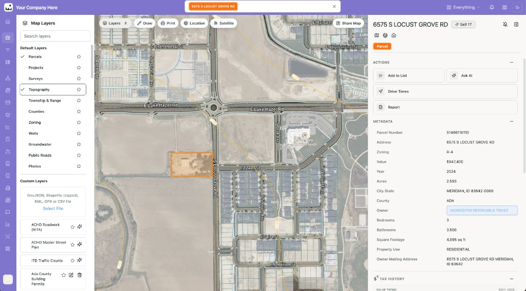
Uncover who really owns a parcel — individuals, LLCs, and trusts — and the connected entities behind them, so you can source off-market sites and reach the right decision-maker directly.
- Ownership across LLCs, trusts & individuals
- Connected-entity networks
- Off-market site sourcing
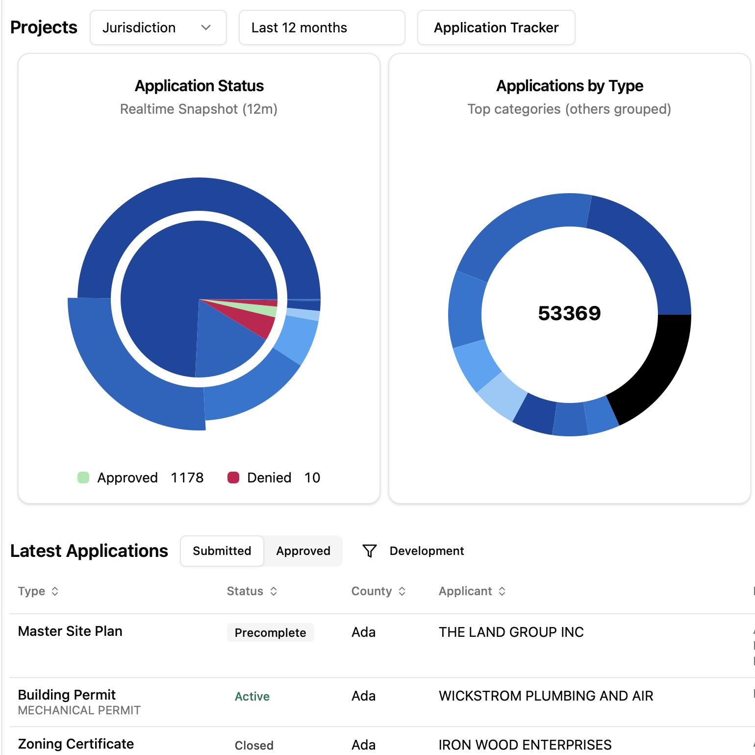
Track Every Plat in Production
Keep your whole pipeline in view — plats in production alongside market signals like absorption rates and traffic volumes (VPD) — so you can time phases and manage the pipeline with confidence.
- Plats in production
- Absorption tracking
- Traffic counts (VPD) & market signals
200+ GIS Layers
Build on the deepest GIS layer set in Idaho — over 200 layers spanning flood zones, water rights, soils, districts, and more — all rendered together on a single map.
- 200+ layers, one map
- Flood, water rights, soils & districts
- New layers added regularly